Wundowie
Wundowie, Australia
'As a Garden City design for an industrial purpose, Wundowie has landmark status as the first twentieth century town in Western Australia and further, that it has retained not only its industrial character and industrial purpose but also its town plan design.' (Heritage assesment by The National Trust of Australia.)
| Garden City Type: | Former company town |
| Country: | Australia |
| City: | Wundowie |
| Years of construction: |
1947 Start construction
|
| Initiator/client: | Western Australian Government |
| Architect or related: |
Western Australian Department of Housing |
| Heritage status: | Yes |
| Explanation: | In 2011, the Town of Wundowie was granted Heritage Status by The National Trust of Australia. |
| General condition of Garden City: | Good condition |
General description
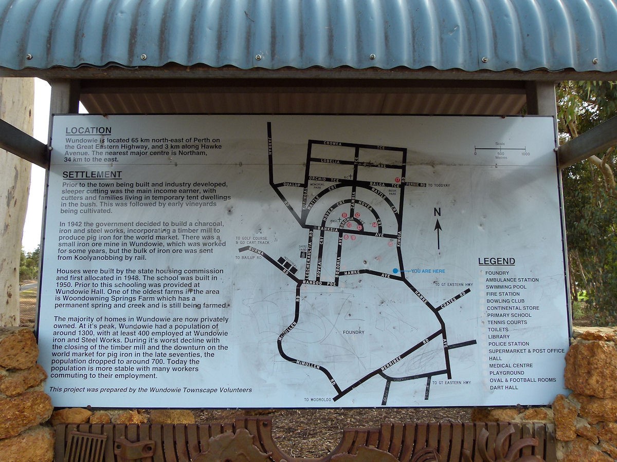
Wundowie is a town in Western Australia, located between Perth and Northam in the Darling Range. It was named in 1907; the name originating from nearby Woondowing Spring, an Aboriginal word thought to come from Ngwundow, meaning "to lie down".
The Western Australian Government had become concerned about the State’s vulnerability in terms of its isolated location and dependence upon imported iron and steel. Therefore, the decision was made by the government to construct a blast furnace and wood distillation plant to produce charcoal in 1943 at Wundowie. Next, plans were made to develop the town site. Lots were surveyed in 1946 and the town was gazetted in 1947. Construction of the town was by the Western Australian Department of Housing.
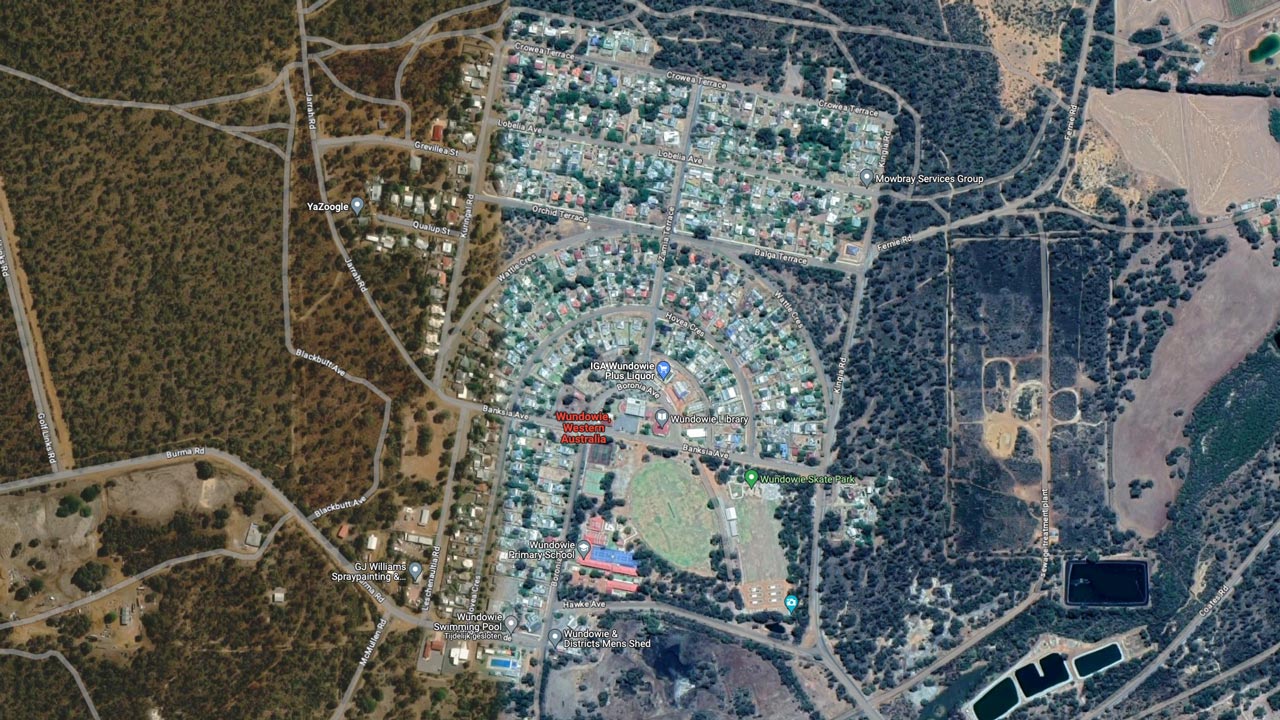
The charcoal iron works commenced production in 1948 and the railway station was opened in 1949. As the Industry expanded and developed, accommodation lagged behind and a temporary tent city sprang up near the industrial site. The original townsite plan was expanded in 1951 with additional streets added to the north. Unlike the original curvilinear from, the new area was based on a standard grid plan.
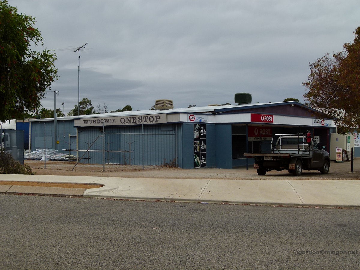
In 1974 the plant was sold to Agnew-Clough Ltd and upgraded. By 1979, a shortage of hardwood timber resulted in the saw mill being closed. The company closed down the smelting works in 1981 but the foundry remained operational. The Foundry remains privately owned and continues to operate.
Architecture / Urban planning
The design of the town generally follows the natural contours of the shallow valley it is located in. The layout was based on the concepts of the garden city movement of town planning: the original core takes the form of a hemispherical street arrangement with the civic functions at the centre, the curvilinear street pattern, the subdivision layout, a separation of land uses, and public open spaces. The later expansion in the north reverted to a typical grid pattern.
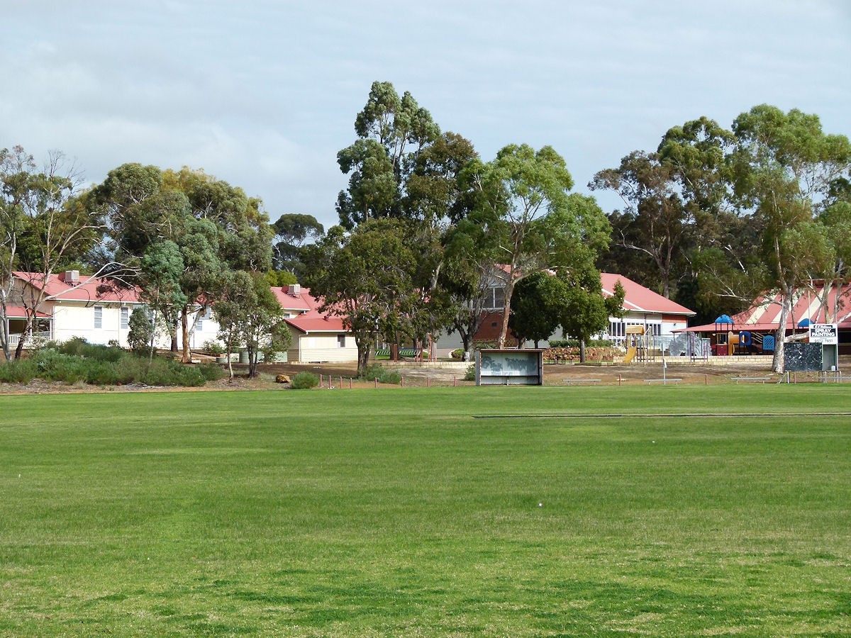
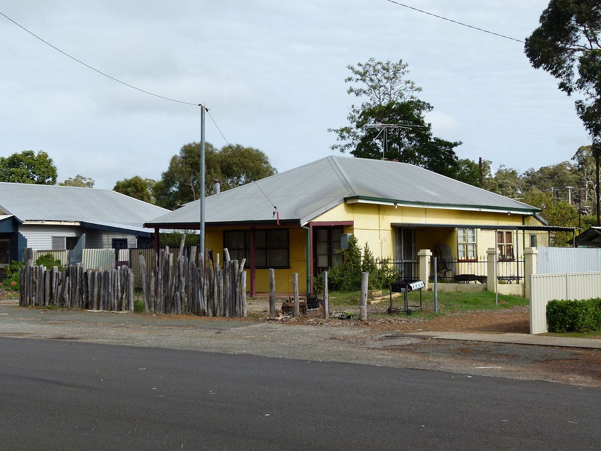
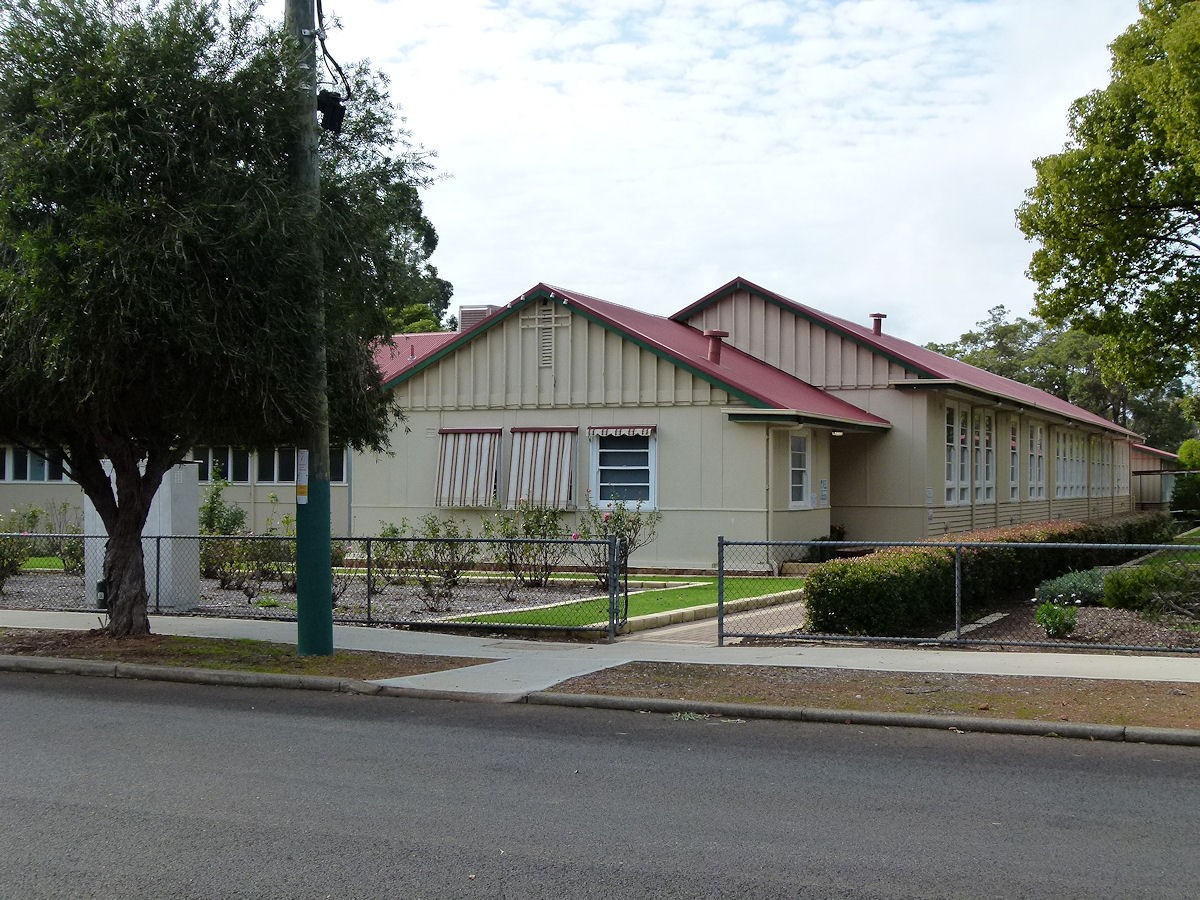
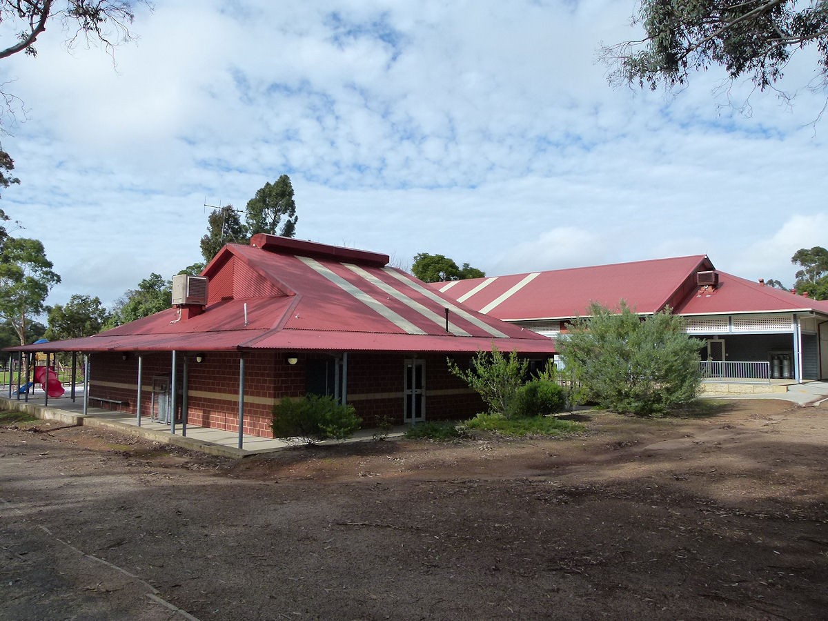
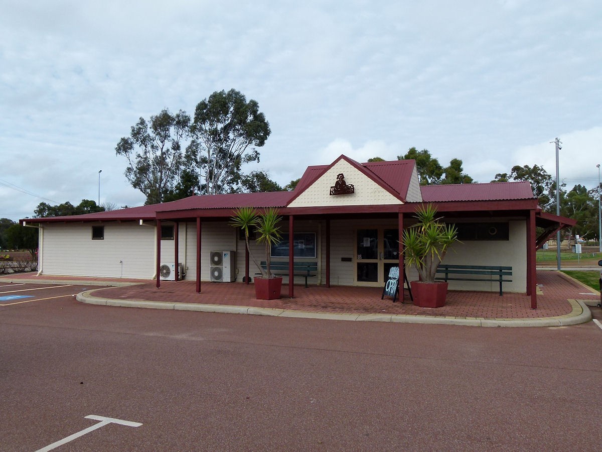
The buildings of the town are single storey with the housing retaining the essence of postwar public housing form. Some residential lots have been subdivided into "battleaxe configuration but the new housing form is generally complementary to the original forms.
Recent developments
The urban form of Wundowie has retained the original fabric to a substantial degree. The original 128 housing lots and the subsequent town expansions of 136 (northern extension) and 71 (western extension) have generally respected the street pattern and housing form. On some lots so-called battleaxe subdivisions were developed, where a single lot is subdivided into two lots: one behind the other and with a 'battleaxe handle' style access leg to the rear lot from the street frontage.
Sources
- Website URL
- Website URL
Wundowie garden town conservation plan (Oct. 2008)
- Website URL